
Mapping Solutions
Accurate, on-demand aerial mapping and 3D modeling for informed decision-making.
Benefits
- 01
Survey-Grade Precision
Capture survey-grade, centimeter-accurate 3D maps and models, delivering the dimensional fidelity required for detailed design and volumetric analysis.
- 02
Efficient Wide-Area Coverage
Survey large areas in a single, efficient automated flight, dramatically reducing time and cost compared to ground-based methods.
- 03
Safe Complex Terrain Access
Access and map dangerous or complex terrain, safely from the air, eliminating personnel risk.
Model Reality in Its Truest Form
See the site as the system will. Capture survey-grade imagery that is meticulously geotagged and transform every flight into a definitive data source for as-built verification, volumetric analysis, and design planning.
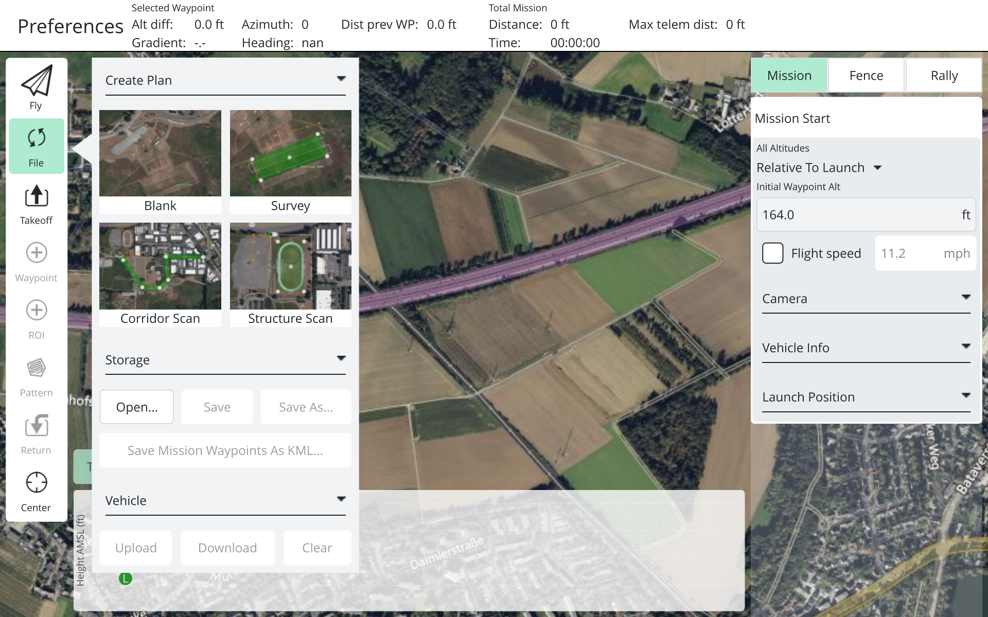
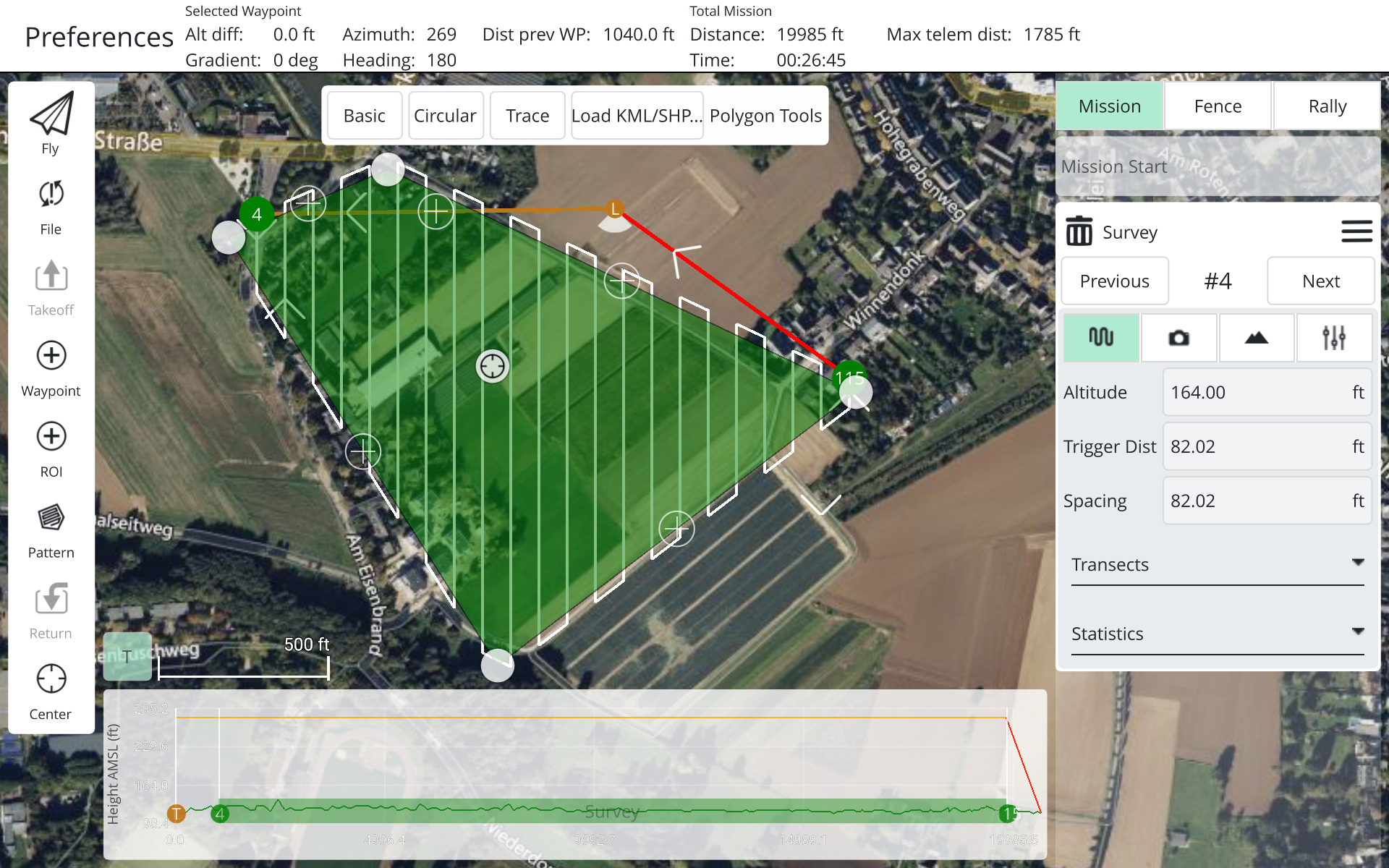
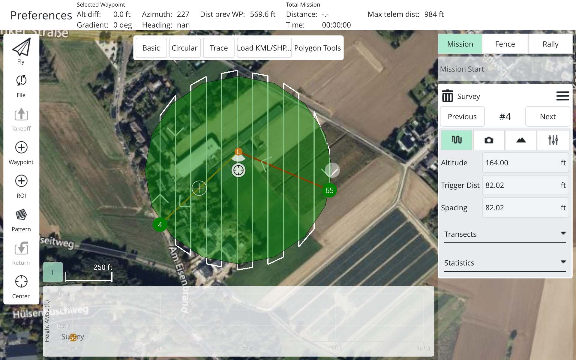
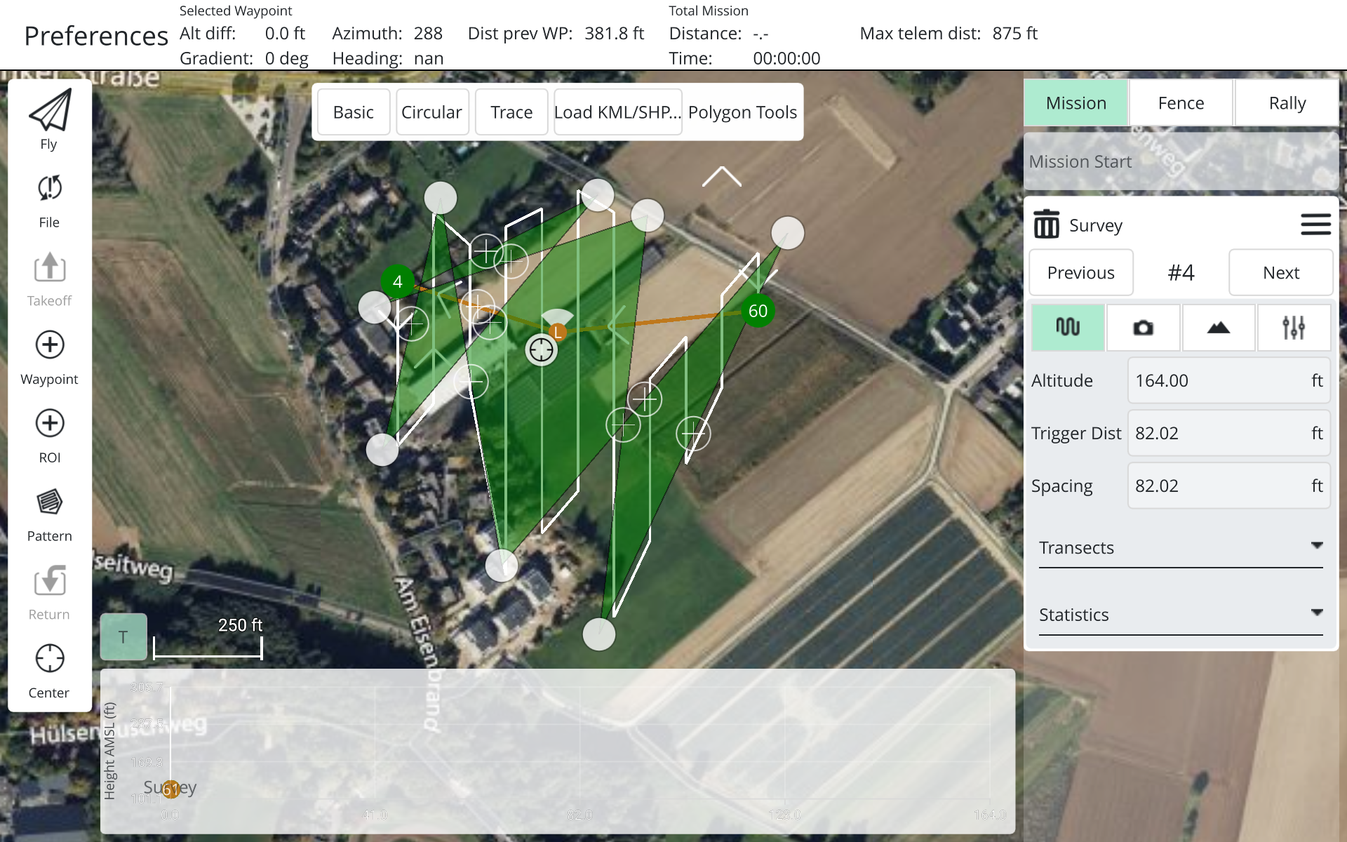
For different operating environments, in the Survey, we provide three graphics options, Basic, Circular, and you can also choose to import KML files.
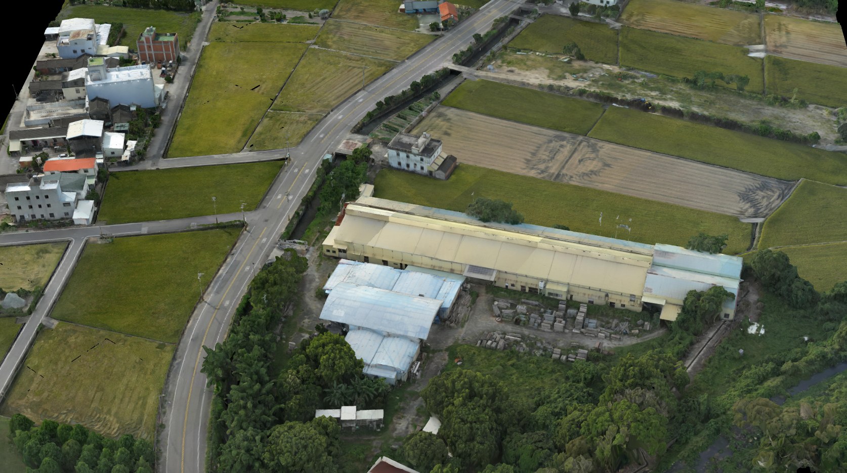
A survey-grade, centimeter-accurate 3D model captured from Rhythm1.
Related Products
ㆍRecommended Inspection Solution Configurations
Tailored AI Neural Recognition Model
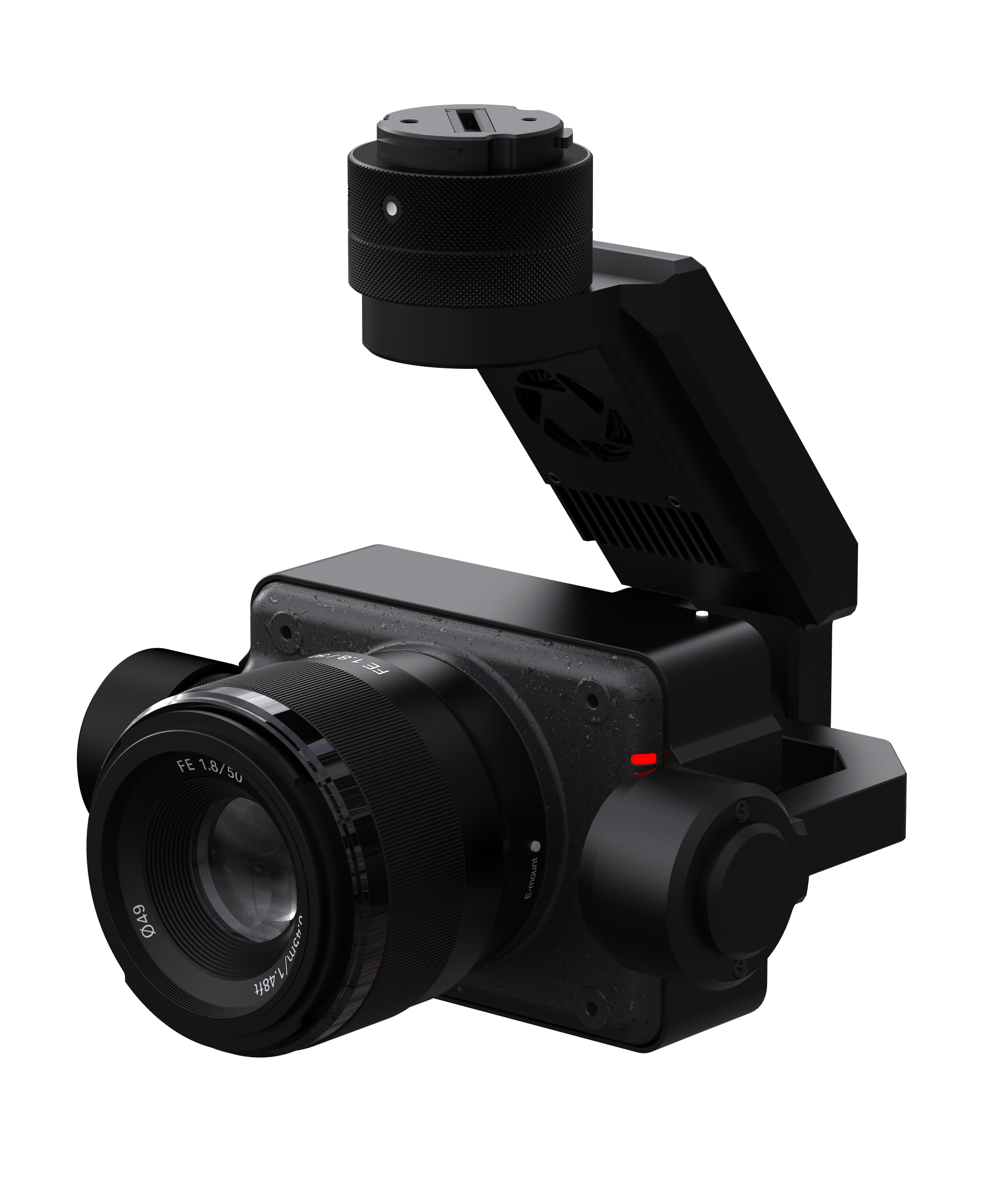
- SONY ILX_LR1 full-frame camera
- 24mm, 40mm, 50mm
- Nvidia Xavier NX 8G